SEMIS Coalition Orientation & Place-Based Education 101
During these two events on June 17 & 24 participants included new and returning member teachers, community partners, district leaders and administrators. At this orientation people were given a sense of our structure and process, what membership entails, and received an introduction to place-based education. We discussed the anchors of Place-Based Education, and the importance of building sense of positive belonging in our communities. The SEMIS Coalition was founded in 2008 and is part of a larger state-wide network of PBE practitioners through the Great Lakes Stewardship Initiative.
How to trust my students and expand on their responsibilities.
Recognizing the importance of becoming more knowledgeable about the resources and needs of my students’ communities and finding ways to connect them to what we’re learning in class.
The Pillars of Place Based Learning.
Collaborating with teachers from other school districts to explore different views of the same topic with students input.
SEMIS Learning Series Overview & Feedback Session: Coming Together for Place-Based Education
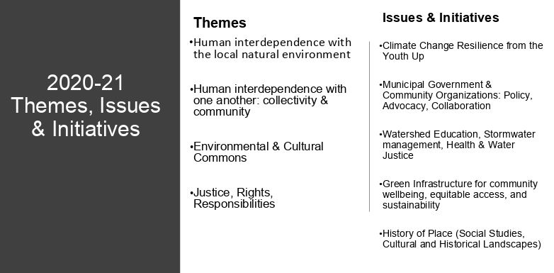
During this virtual event our goal was to build and deepen our connections with our community, frame and share 2020-2021 SEMIS Learning Series information about themes and initiatives, listen and understand the strengths, needs and current teaching and learning circumstances for our member educators. Together, we began to navigate flexibility & structure for planning for the coming school year as we face both known and unknown circumstances. Our Fall Calander of virtual events can be found. It is subject to slight changes.
Using the SEMIS system for support, coaching, ideas and PD through Badges; I also really loved the virtual stand up activity as well as the river activity.
Coaching students to be community problem solvers.
More open discussion about advocacy of student voice and addressing social issues related to the environment.
My Maps would very easily integrate into our Community Based Education program and the place-based work we are doing. I really see this could be utilized during distance learning or times that my students are unable to leave the building.
I can definitely see applications to history of place and to water/geological/ecological studies we do on our school grounds.
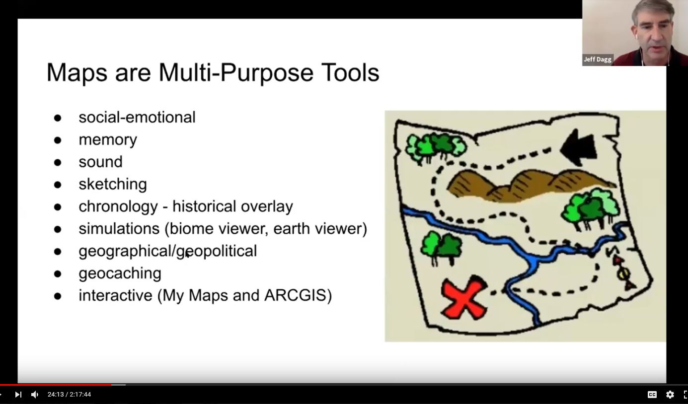
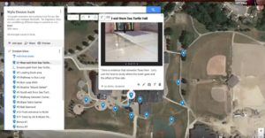
Google My Maps Workshop: Place-Based Education Practices
On June 25th Dexter Community Schools Instructional Coach and SEMIS member Jeff Dagg guided our hands-on workshop and shared his knowledge and experience integrating interactive maps into place-based activities. Google My Maps allows learners to collaboratively create maps with differentiable pins, imported images, and text-based descriptions that document place-based journeys. Strategic use of My Maps features allows the element of time to be incorporated into project storylines. Distance and area calculation tools are embedded within the application thereby connecting mathematics concepts to the science and social studies objectives of projects. The Coalition has begun it’s own shared Google My Maps and will be incorporating this into our annual learning series.